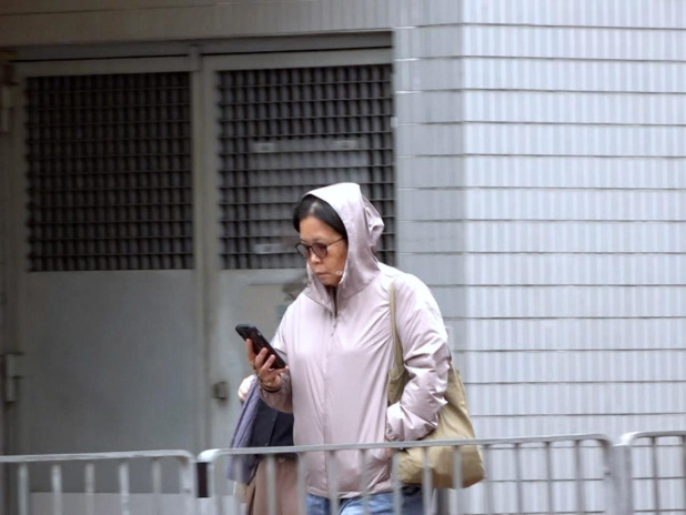
The lowest temperature in Hong Kong's urban areas on Tuesday morning was recorded at 17.5 degrees Celsius, the lowest since the start of autumn this year. Acting senior scientific officer Lam Hok-yin attributed this to relatively strong northerly winds, which make the city feel colder. He advised residents to wear an extra layer for the morning when winds and low temperatures persist. Wednesday morning will continue to be relatively cool, with urban temperatures around 18 degrees and the New Territories experiencing even cooler conditions. However, with sunny and dry weather expected, daytime temperatures are set to rise to around 25 degrees and are likely to increase further later in the week. Looking ahead to the winter season, under the influence of global warming and the super El Niño, Lam predicts that Hong Kong's temperatures are expected to be normal to above-normal and will likely experience more rainfall than usual.
RTHK
Published: 2026-11-10 13:00:49
Warmer Weather to Follow Chill This Week
On Tuesday morning, the Government Weather Observation recorded a low of 17.5°C in urban areas – the lowest since autumn began this year. Due to relatively strong northeast winds, the city felt considerably colder. According to the Observatory, Wednesday morning would still be cooler, with temperatures around 18°C in urban areas and below 16°C in the New Territories. However, with sunny and dry weather, daytime temperatures may rise to around 25°C and are expected to increase further later in the week. The Observatory also noted that, under the influence of global warming and the super El Niño, temperatures in the winter are very likely to be normal to above normal, with more rainfall than usual.
Source:
RTHK ↗